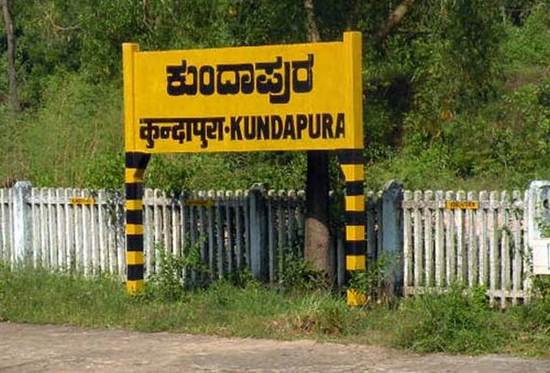
Kundapura
From Namma Kundapura, the coastal encyclopedia of Karnataka
Kundapura (also spelt Kundapur; historically Coondapoor) is a scenic coastal town and the headquarters of Kundapura taluk in the Udupi district of Karnataka, India. Set on the Arabian Sea with rivers on three sides, it is often called the "Pearl of Coastal Karnataka", a blend of golden beaches, verdant backwaters, deep temple heritage and a distinctive coastal culture.
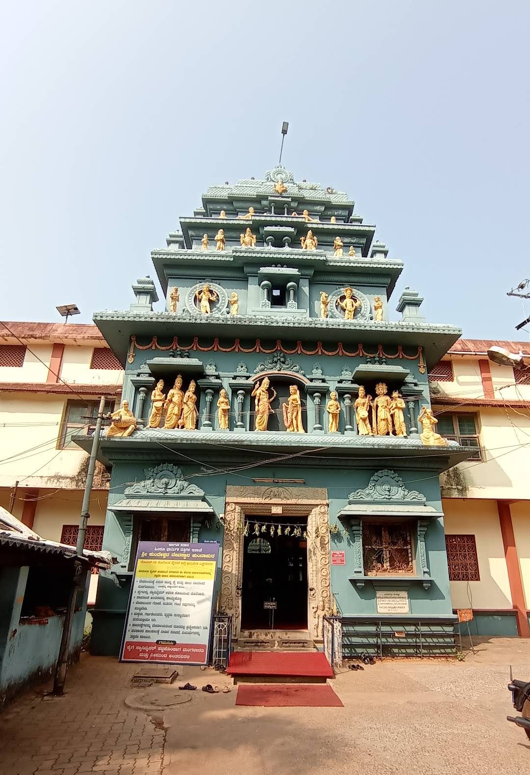
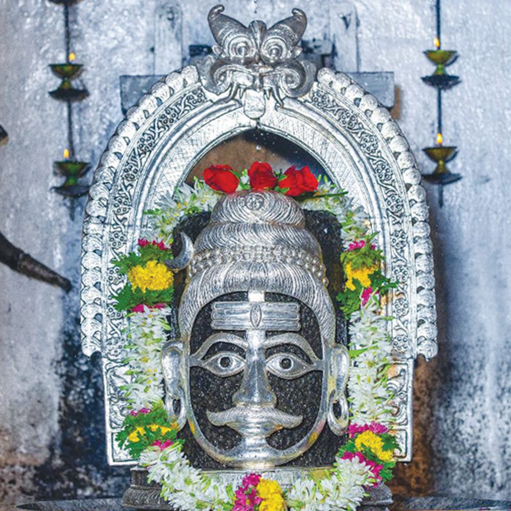
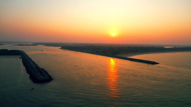
The town sits on the estuary of the Panchagangavalli, the broad tidal mouth where five rivers, the Varahi, Kedaka, Chakra, Kubja and Souparnika, meet the sea. This sheltered confluence made Kundapura and its neighbour Basrur important harbours for more than a thousand years. According to tradition the town is named after the ancient Sri Kundeshwara Temple, built by Kundavarma of the Alupa dynasty, and from the Kannada word kunda (jasmine) for the fragrant flowers grown here.
Name & etymology
Main article: Name & Etymology
The name Kundapura is traditionally derived from the Kundeshwara temple dedicated to Shiva, around which the old town grew, Kunda-pura, "the town of Kundeshwara". A second, beloved explanation links kunda to the jasmine flower once grown abundantly here, giving the town its epithet "land of jasmine". In the local Tulu tongue, kunda can also mean "pillar", a nod to traditional houses raised on tall pillars. Under British administration the port was recorded as Coondapoor.
History
Main article: History of Kundapura
The region's recorded history reaches back to the Alupa dynasty (8th–14th centuries), under whom King Kundavarma built the Kundeshwara temple. The coast later passed to the Keladi Nayakas and the Vijayanagara Empire. In 1570 the Portuguese captured Kundapura and built a fort and the Holy Rosary chapel; the Keladi ruler Shivappa Nayaka recaptured the town by 1652. Hyder Ali and Tipu Sultan of Mysore followed, then the British, under whom it formed part of South Canara in the Madras Presidency. After independence the area joined Mysore State (later Karnataka), and in 1997 became part of the newly created Udupi district.
Geography & climate
Main article: Geography and Climate
Kundapura lies about 38 km north of Udupi and 91 km north of Mangaluru on the narrow coastal plain between the Arabian Sea and the Western Ghats. The town is remarkably enclosed by water on three sides (the Panchagangavalli river to the north, the Kalaghar river to the east, and backwaters and the sea to the west) leaving only the south connected by land. The climate is tropical monsoon: very heavy southwest-monsoon rain from June to September, hot humid summers, and mild, dry winters that form the peak season.
Demographics & language
Kundapura is culturally heterogeneous. The majority speak the distinctive Kundapra Kannada (Kundagannada) dialect, prized locally for retaining archaic words and a melodious accent. Tulu, Konkani (especially among Saraswat Brahmins) and Beary are also widely spoken. Hindus form the majority, alongside long-settled Christian communities, centred on the 450-year-old Holy Rosary Church (built by the Portuguese in 1570), and Muslim (Beary) fishing communities, with a strong tradition of communal harmony.
Religion & temples
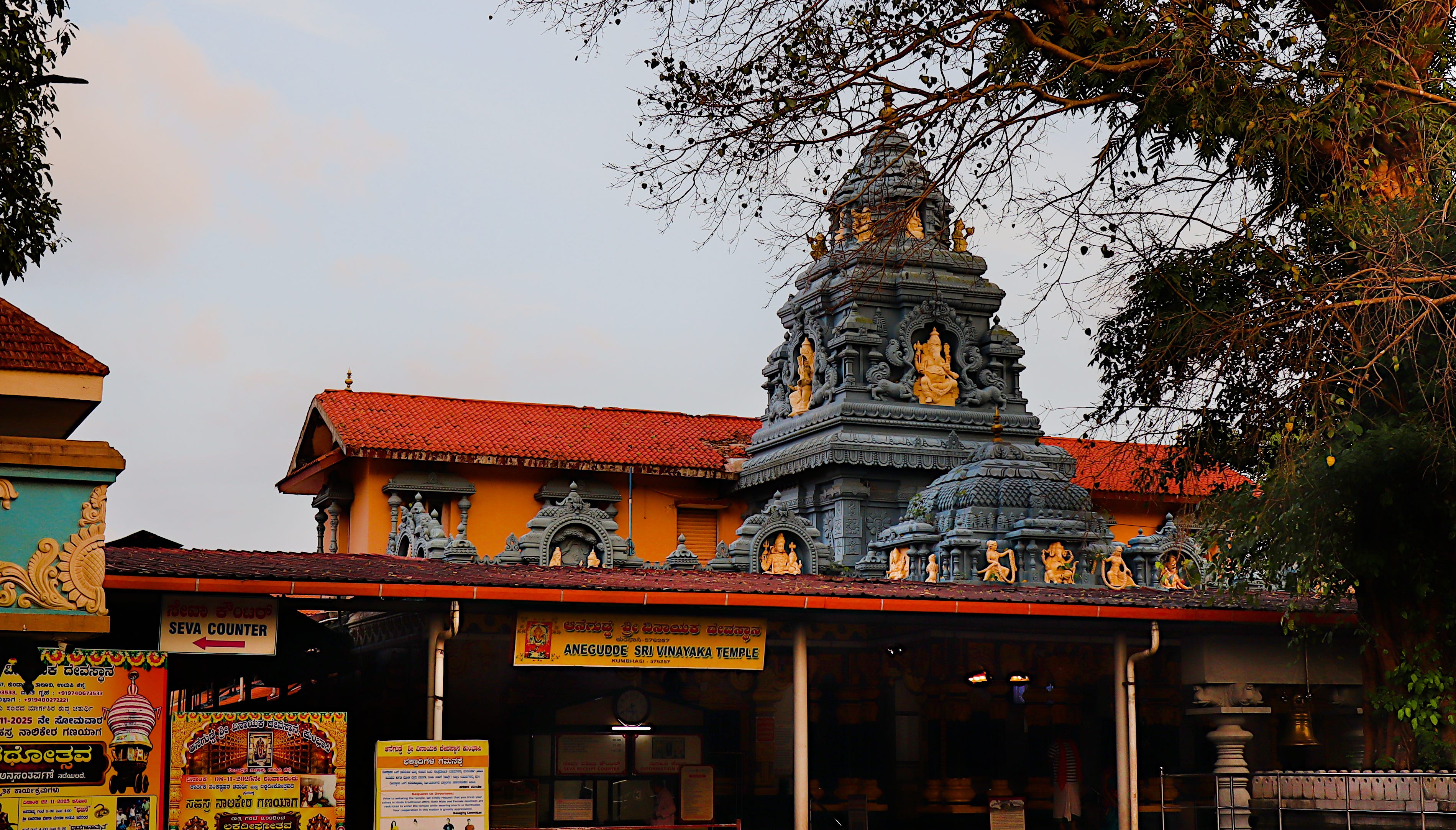
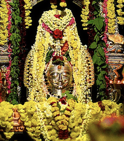
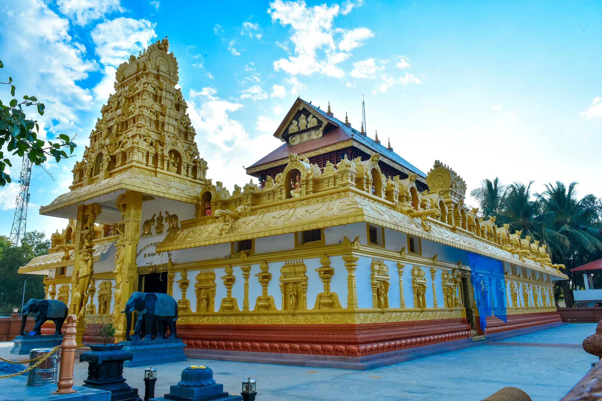
The taluk's landscape is dotted with shrines. Besides the town's Kundeshwara temple, the great centres include the Anegudde Vinayaka Temple at Kumbhashi (Lord Ganesha on "Elephant Hill"), the Kotilingeshwara Shiva temple at Koteshwara (one of Parashurama's seven Mukti Sthalas, famed for its grand Kodi Habba chariot festival) and the celebrated Kollur Mookambika temple inland.
Beaches & backwaters
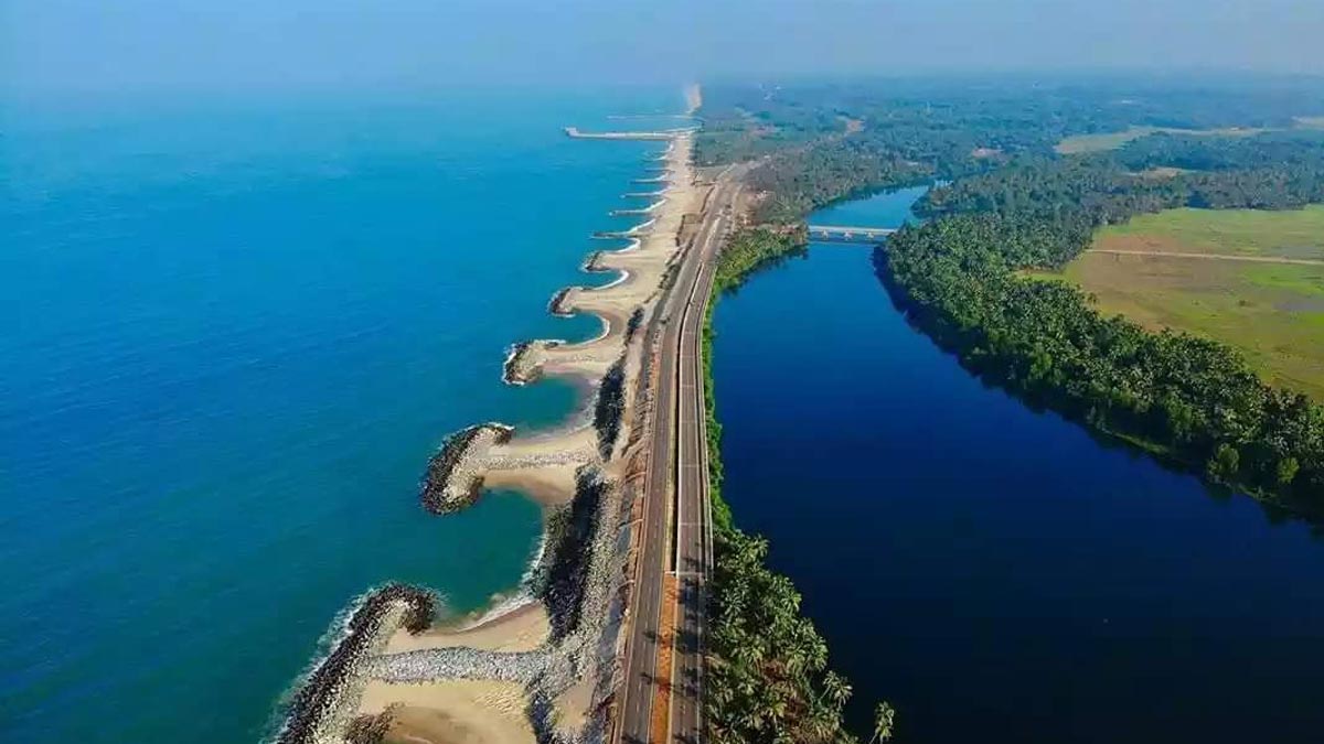
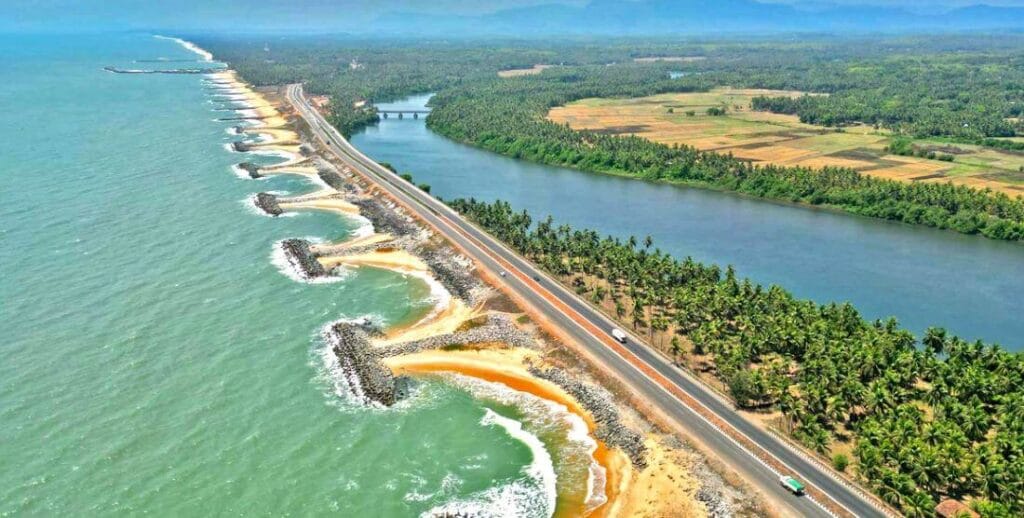
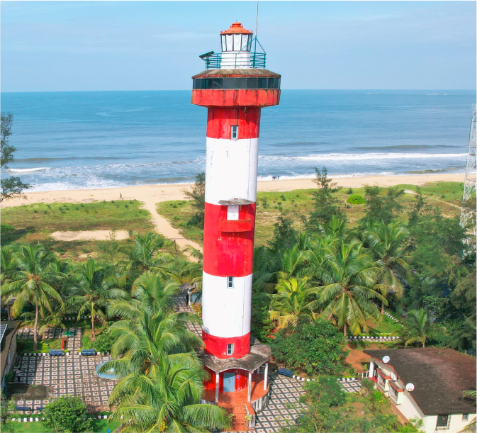
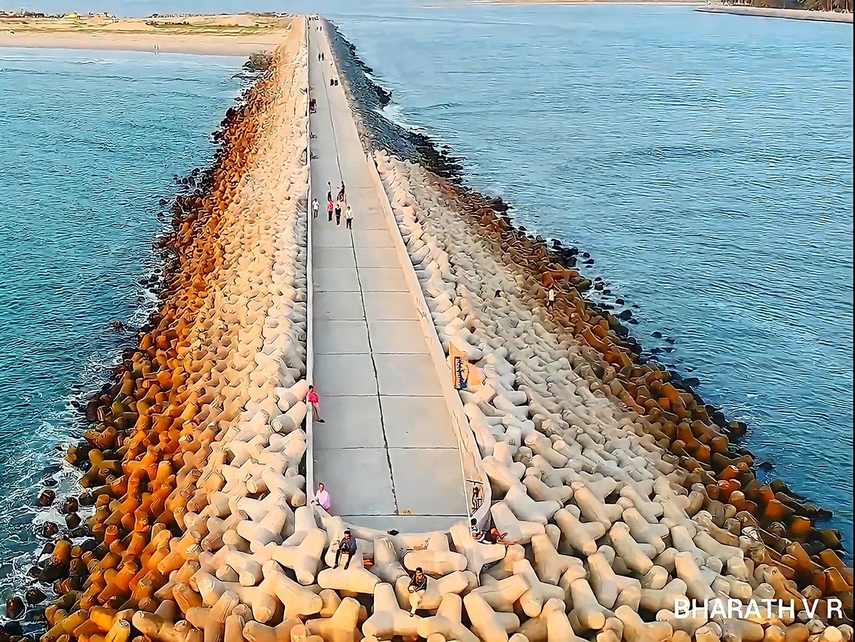
Kundapura's coast is renowned for its natural, unspoiled character. Maravanthe is the signature spot, where the highway runs between sea and river; Trasi is a quiet golden-sand beach with a small offshore islet; and Kodi Bengre is a tranquil estuary beach where the river meets the sea amid mangroves. At the tip of Kodi stands the Kundapura lighthouse, and the town's sea walk breakwaters at Gangolli offer sweeping ocean views.
Cuisine
Main article: Cuisine of Kundapura
Kundapura's food is spicy, coconut-rich and seafood-driven. Its most famous dish is the robust Kundapura Chicken (Koli Saaru), so beloved that a branded "Kundapura Chicken Masala" was launched from here in 1987, alongside the celebrated Chicken Ghee Roast, fish curry (kudla saaru), neer dosa, kori rotti and Udupi-style vegetarian fare. Beachside stalls serve fresh fried fish, and temple festivals offer free community feasts (prasadam).
Culture
Main article: Culture of Kundapura
Kundapura is a stronghold of Yakshagana, the night-long coastal dance-drama, and of the spirit-worship traditions of Bhuta Kola (Daiva Nema) and Naga worship. The region produced the Jnanpith-honoured writer's tradition and the celebrated Kannada author Vaidehi, who writes in the Kundapura dialect, as well as film figures from the wider taluk. Temple car festivals, the local dialect and a famed coastal cuisine give Kundapura a powerful identity.
Economy
Main article: Economy of Kundapura
The pillars of the economy are fishing, centred on the harbour at Gangolli, and agriculture: paddy, coconut, areca nut and cashew. Food processing, small trade, beedi-rolling and, increasingly, tourism supplement these. Large numbers of families also depend on remittances from workers in the Persian Gulf, a pattern shared across coastal Karnataka.
Transport
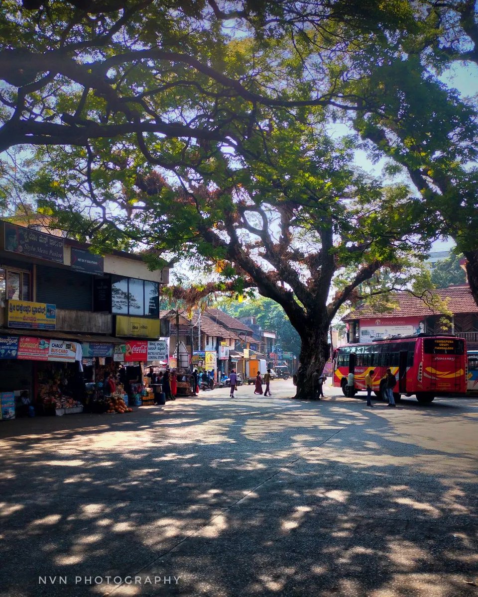
Kundapura lies on National Highway 66 (the Mumbai–Kanyakumari coastal highway) and on the Konkan Railway; the railway station (code KUDA) is a few kilometres from the town centre. KSRTC and private buses link the town to Udupi, Mangaluru and beyond. The nearest airport is Mangaluru International (≈ 90 km south).
Places of interest
- Maravanthe Beach, the highway flanked by sea and river.
- Kollur Mookambika Temple, a major Shakti pilgrimage centre below Kodachadri.
- Anegudde Vinayaka, Kamalashile and Maranakatte temples.
- Koteshwara, the Kotilingeshwara temple and its Kodi Habba.
- Basrur, the medieval port town and its old temples and basadis.
- Gangolli, fishing harbour and sea-walk at the river mouth.
See also
References & notes
- Compiled guides: "Kundapura (The Pearl of Coastal Karnataka", "Kundapura) Land of Jasmine" and a detailed Kundapura taluk report.
- Census of India 2011, town & taluk demographic data.
- Udupi District administration, taluk profile, Kundapura.
- Karnataka State Tourism, Kundapura & coastal circuit notes.
Photographs on this page were contributed by residents and visitors documenting Kundapura, and are used for cultural and educational reference.